Community Defense Against Wildfire
Our communities in the west are vulnerable to wildfire during drought conditions, especially as the impacts of climate change increase. We work to provide adaptation solutions to wildfire hazards.


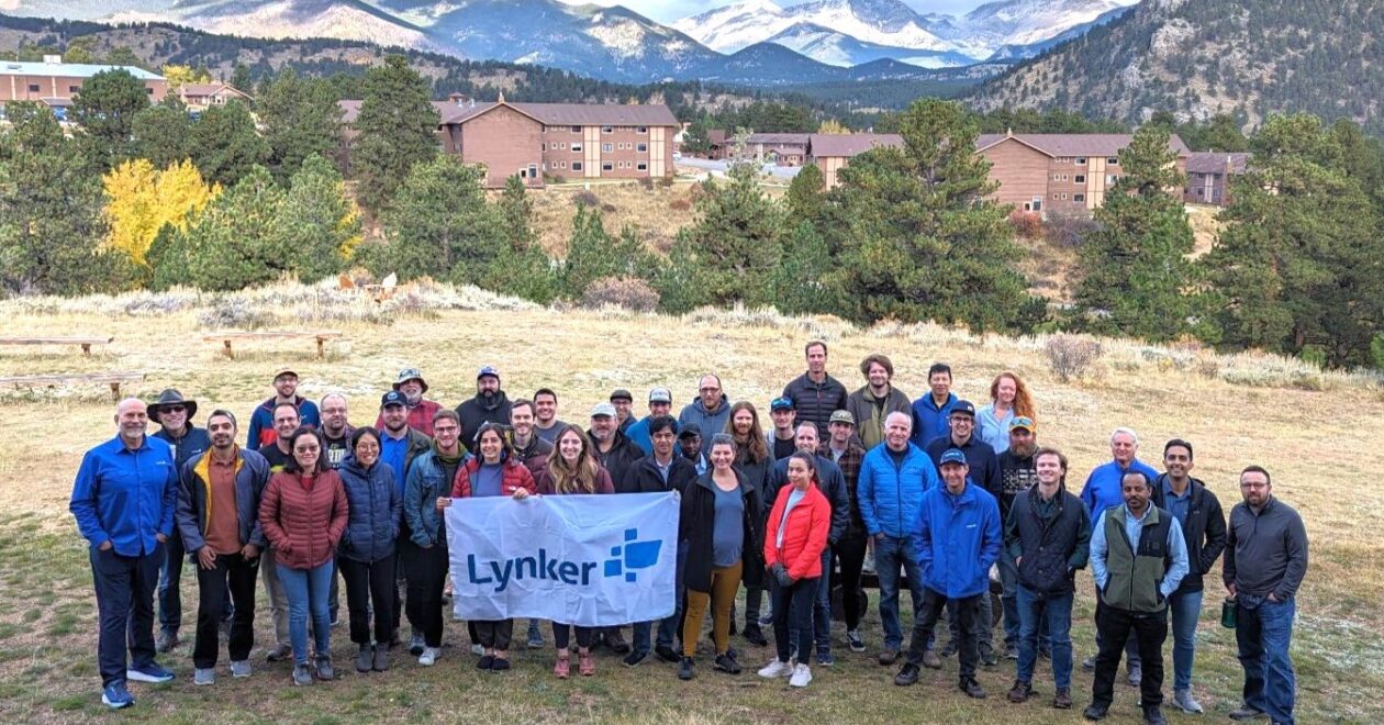
Lynker Intel is the research and development arm of the Lynker Corporation, an employee owned water science and engineering company based in Boulder, Colorado. We are scientists, engineers, and conservationists who engage with our clients to provide actionable and robust solutions to invest and adapt to future uncertainty. Our scientists listen to and collaborate with our clients to fully understand a problem, then work to develop a truly customized and actionable solution to help clients at multiple scales. Lynker provides rigorous environmental analyses to support projects including water supply planning, assessment of risk from natural hazards, and ecosystem restoration. We utilize cutting-edge geospatial analytics across all aspects of our work.
Graeme Aggett – PhD, Principal and Chief Scientist
Rachel Bash – Water Resources Engineer
Keith Jennings – PhD, Water Resources Scientist
Jim McCord – PhD, PE, Principal Hydrogeologist / Water Resources Engineer
Sophia Sigstedt – PH-GW, Professional Hydrogeologist
Ryan Spies – CFM, Water Resources Scientist
Josh Sturtevant – Water Resources Scientist
Bill Szafranski – MS, PH, Water Resources Scientist
Angus Watters – Geospatial Data Scientist
Travis Wilhoite – Director-Corporate Services
Roger Wolvington – Database Developer and CRAM Modeler
Shawn Crawley – Software Engineer
Nayoung Hur – Water Resources Engineer
Mike Johnson – PhD, Water Resources Data Scientist
Nels Frazier – Lead Technical Architect
Dillon Ragar – Water Resources Scientist


Our communities in the west are vulnerable to wildfire during drought conditions, especially as the impacts of climate change increase. We work to provide adaptation solutions to wildfire hazards.

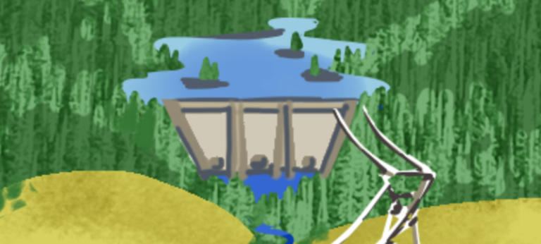
The potential impacts of drought on communities is clearly visible in the dropping reservoir level at Lake Meade and Lake Powell in the Colorado River basin. We work with municipalities to identify and forecast the magnitude and severity of droughts from a water system perspective.
related capabilities

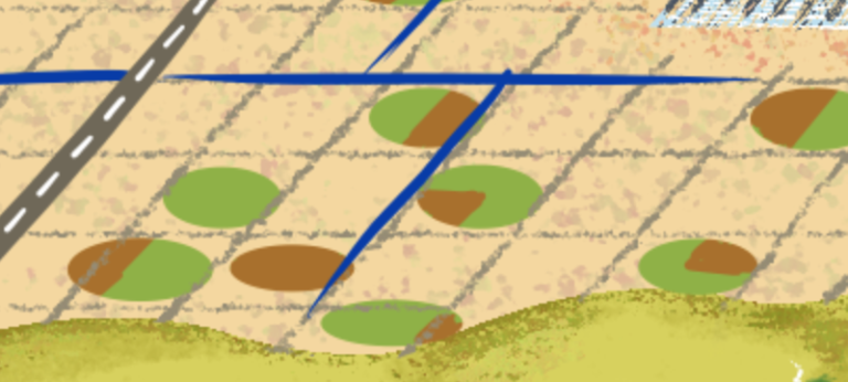
Irrigation for agriculture is supplied by surface water and groundwater sources, both of which are impacted by drought through different mechanisms. Drought may motivate the leasing of water, sale of cattle, or decision on whether to plant for the season. We provide geospatial solutions to analyze drought impacts while considering future climate change.
related capabilities

Flood hazards present profound risks to both life and property. We combine localized impact data along with cutting-edge forecast models to help communities and business plan for, respond to, and adapt to flood hazards.
related capabilities

Rising sea levels and accelerated coastal erosion due to climate change present major risks to urban coastal areas and infrastructure. We can provide modeling solutions to guide mitigation planning efforts to proactively protect life and property.
related capabilities

Climate change, overfishing, and industrial development are leaving a lasting impact on our world’s fisheries. Sustainable fisheries are a necessity for the next generation populating our coastal communities. Lynker Intel can help guide decision makers in protecting and encouraging growth of this valuable natural resource.
related capabilities

Earthquakes can abruptly and catastrophically damage unprepared urban areas. Lynker Intel can provide customized risk assessment and hazard mapping to help local leaders prepare for the unexpected.
related capabilities

Increased temperatures present our urban population centers with unique challenges. Infrastructure decisions made by previous generations need to be reevaluated and updated to mitigate the effects of climate change. Lynker Intel can help identify problem areas such as heat islands to improve public health and quality of life.


