Future Avoided Cost Explorer: Hazards

Problem
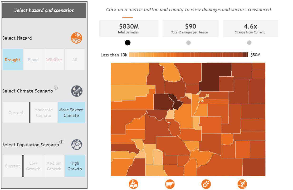
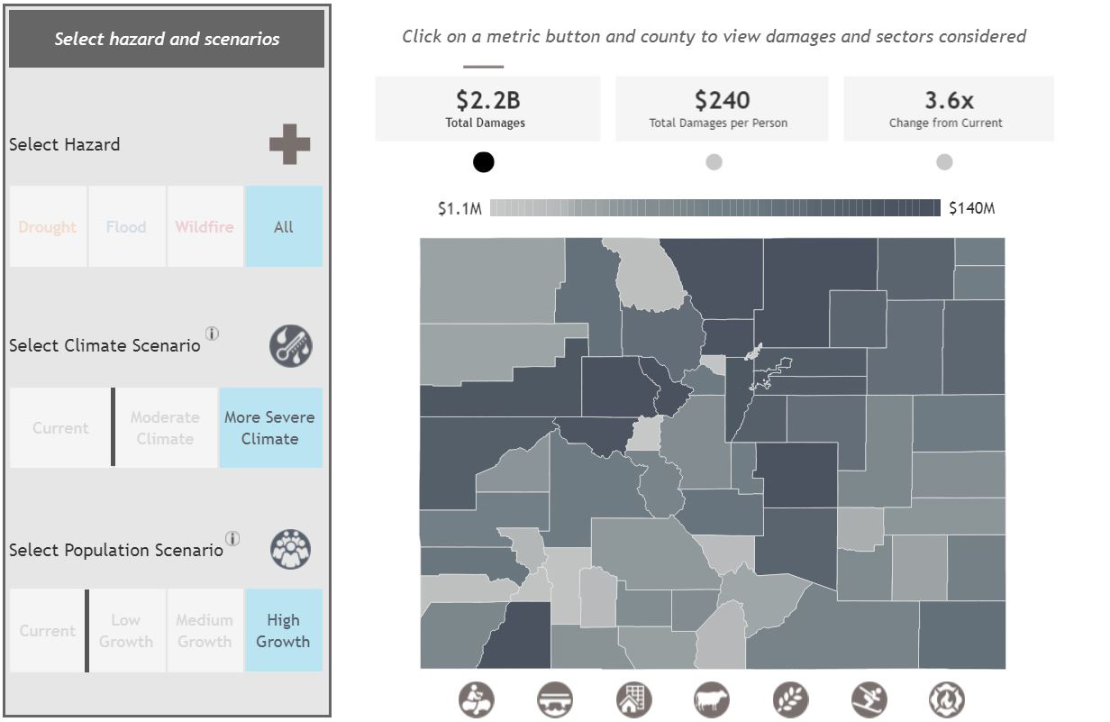
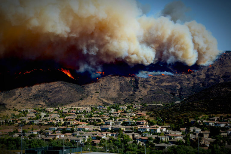
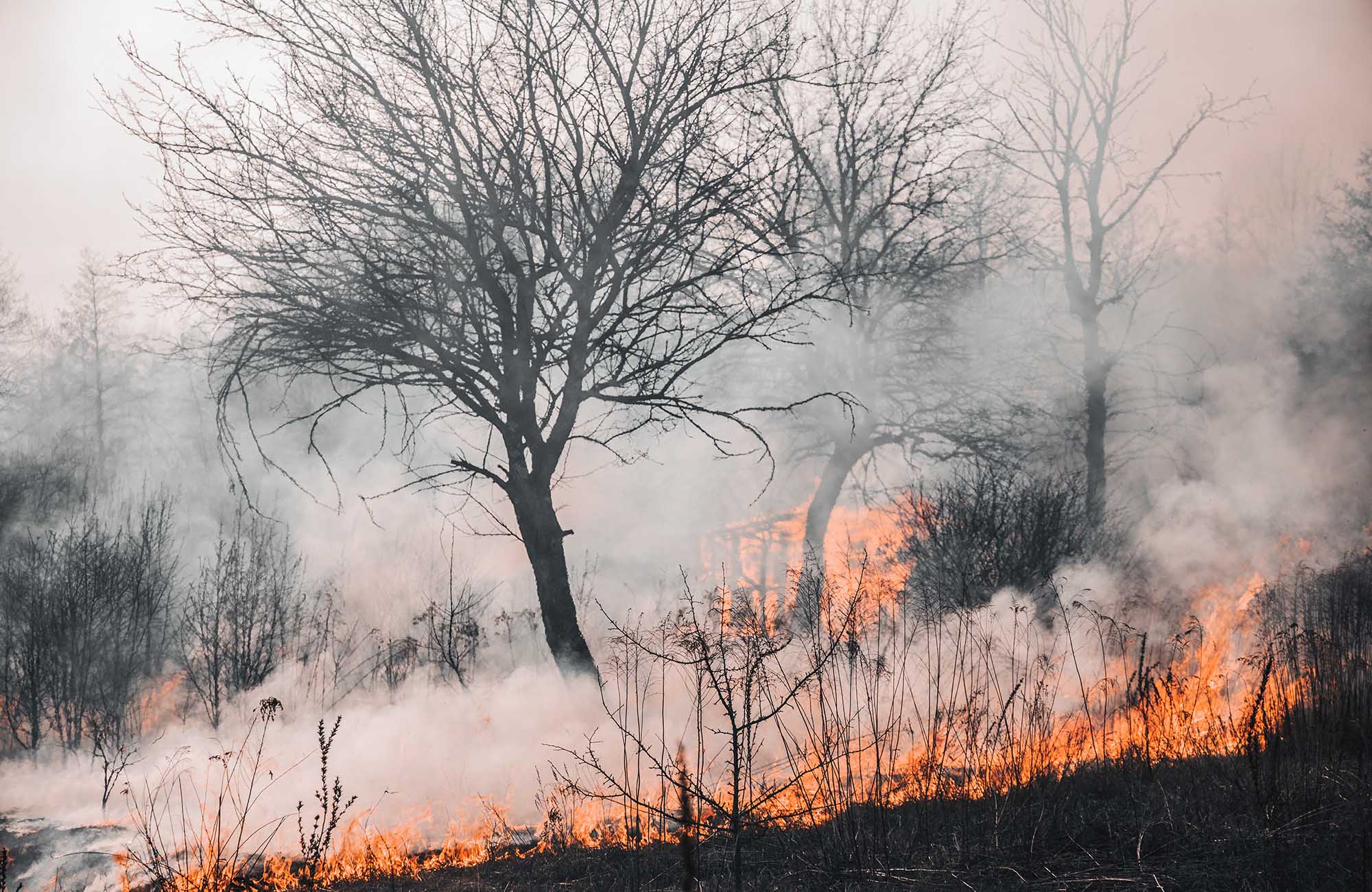
Since 2002, Colorado has experienced record floods, droughts, and wildfires that have impacted thousands of households and businesses and inflicted billions of dollars in impact to infrastructure, property, and the economy. While Colorado has made great strides in responding to, recovering from, and mitigating the impacts of hazards (perils), the state’s risk profile will continue to increase in the coming decades due to the convergence of growth and changing climate conditions. The state needed a new approach to thoroughly quantify its existing and future risk to climate hazards (such as flood, drought, and wildfire) or the potential savings from strategic resilience actions identified through existing planning efforts.

Solution
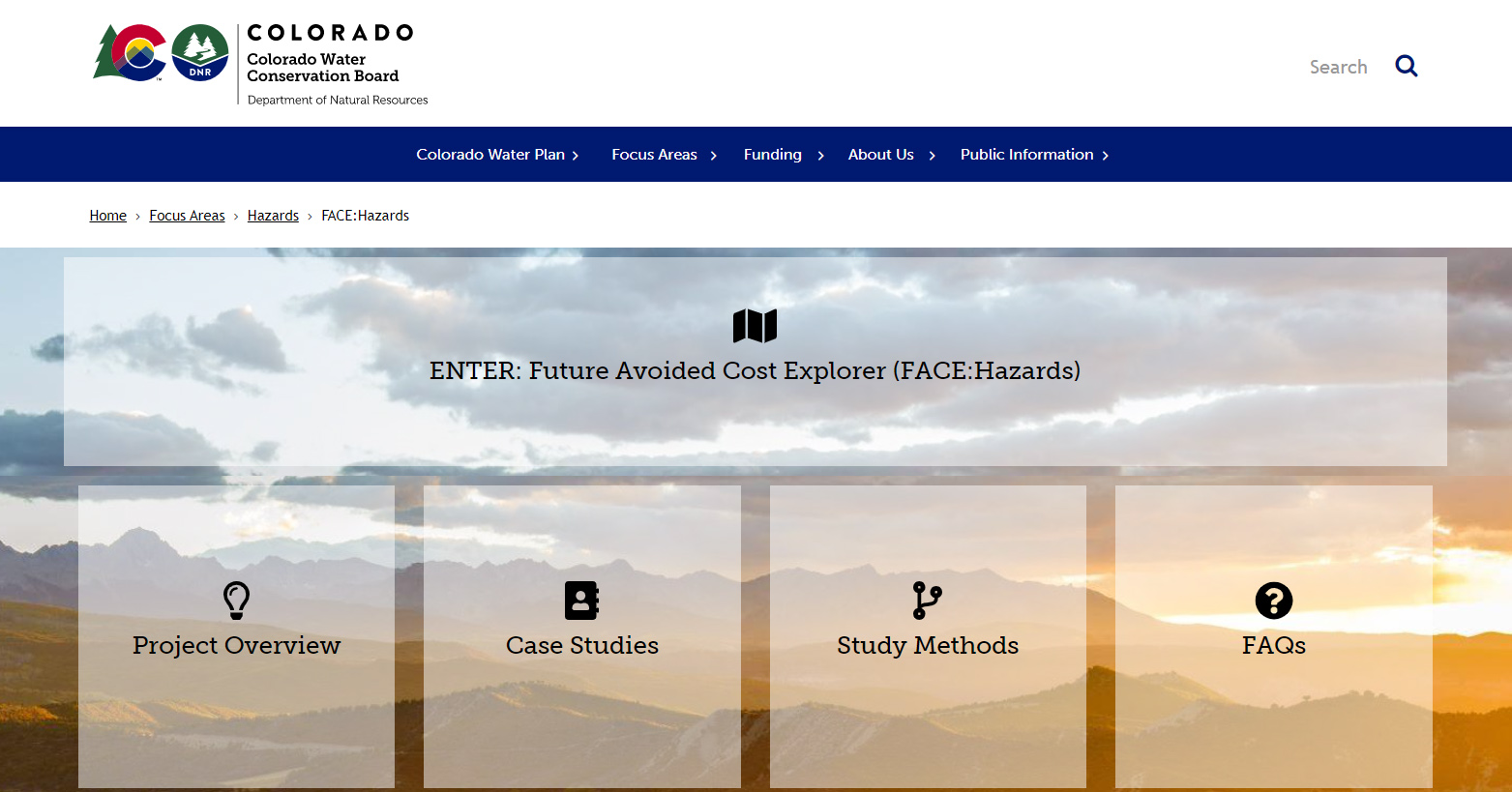
The State of Colorado contracted Lynker to quantify the economic impacts of climate change on select sectors of Colorado’s economy from flood, drought, and wildfire hazards. Risk was expressed in terms of dollar value impacts to select sectors of the Colorado economy, including building structures, public infrastructure, agriculture, and tourism. By calculating the economic impact for both current and future conditions, we can begin to understand what Colorado can gain by acting now to reduce its vulnerability and thereby reduce future damages. We developed models of each sector’s vulnerability to flood, drought, or wildfire using future climate and population conditions to estimate how those expected damages might change by the year 2050. We also developed a resilience dashboard where users can explore actions that promote resilience alongside the relative cost and level of effort. The results, methods, case studies, and project overview is accessible from the Colorado Water Conservation Board website at https://cwcb.colorado.gov/FACE.
Actionable Intelligence
Understanding the financial implications of climate change empowers Colorado communities to justify mitigation and adaptation investment decisions. This climate-informed risk assessment is unique in that future hazard damages are quantified using dollar value units for the entire state of Colorado.