National Water Model - Forecasting Capabilities

Problem
NOAA’s new National Water Model (NWM) has allowed the National Weather Service (NWS) to expand its hydrologic prediction capabilities from ~3,600 river forecast points to over 2.7 million stream reaches, reaching many previously underserved locations. However, deriving actionable intelligence from the NWM is challenging because it produces hundreds of gigabytes of data each day. NWS forecasters need to be able to quickly analyze NWM data before issuing streamflow guidance; thus, methods are needed to synthesize and present NWM data in real time, in such a way that it can easily aid in the decision-support process.
Solution
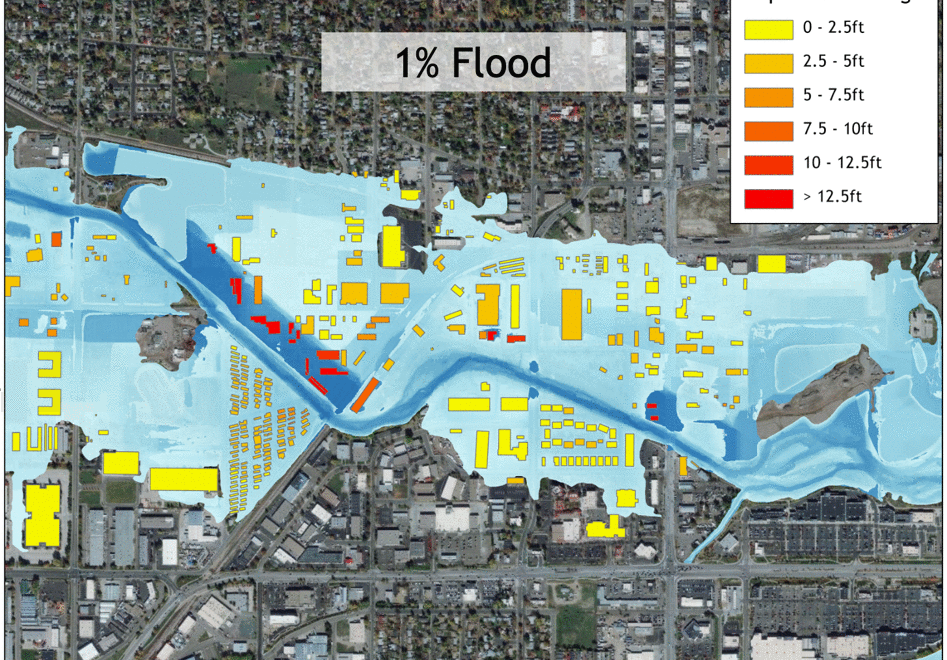
The Lynker Team is providing lead support to OWP in the development of methods and technologies that will enhance the ability of NWS to use the NWM to deliver impact-based decision support services nationwide by providing “street level” water information and guidance and expanding its dissemination efforts to achieve far-reaching national preparedness. Lynker Team members in Tuscaloosa and Boulder, as part of OWP’s Geo-Intelligence Division (GID), are playing a major role in the development of Impact-based Decision Support Services (IDSS). They are also supporting NWC and field operations, external partners, customers and stakeholders, and corporate knowledge management, by developing and providing centralized and consistent geospatial data services, GIS analyses, and map development based on high-level cartographic expertise. This work is supporting science and engineering development, systems implementation, and water resources tasks at local, regional, national and global scales across NWC operations.
Actionable Intelligence
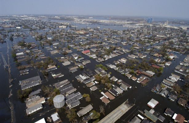
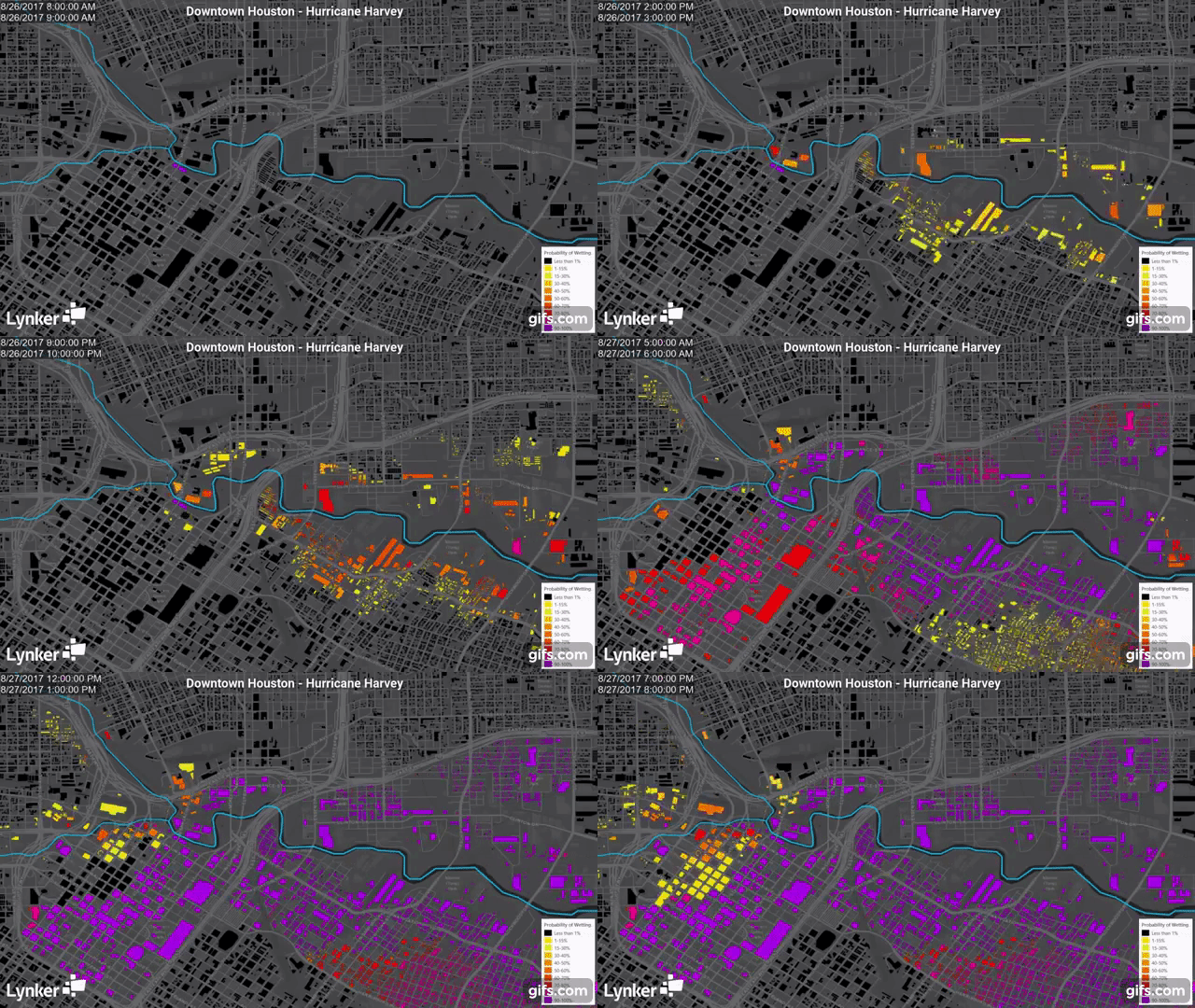
The NWM data services that Lynker has helped to develop have been used to support the response to several recent high-profile hydrologic events. Our team worked around the clock during and after Hurricane Harvey to produce maps in real time of current and forecasted inundation extent for federally declared disaster counties in Texas and Louisiana, using the latest data from the NWM as it became available. Our critical role in responding to this event helped to kick-start NOAA’s effort to develop the ability to do real-time flood inundation mapping on a national scale, which is now a top agency priority.


