Natural Hazards and Risk Assessment
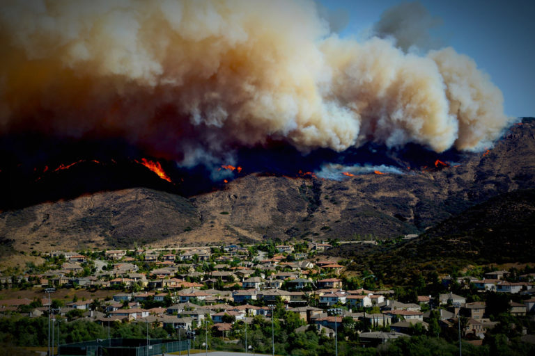

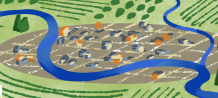
Lynker Intel’s profound experience and capabilities in natural hazards modeling and assessment is the foundation of our ability to provide customized, actionable risk intelligence. We have developed flood hazard and risk assessments for large and small river systems (e.g., the Nile River Basin and the Naches River in Washington), maximum probable loss earthquake hazard and risk studies for cities such as Wellington (the capital of New Zealand), drought hazard and risk assessments for states such as Colorado, and combined multi-hazard and risk assessments (e.g., flood, drought, wildfire, landslides, earthquake, tsunami). Lynker is currently the key contractor assisting NOAA-National Weather Service develop the next-generation flood forecast and hazard prediction tool for the entire United States. We have also developed hazard and risk assessments for multiple hazards with a focus on how much more costly they may be in the future due to changes in climate, changes in land use, and population growth. All of these together add up to more extreme and more frequent events impacting more people and more infrastructure.
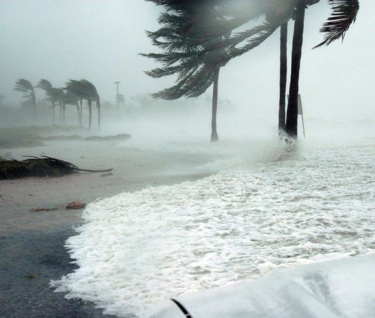
Natural hazards such as flood, drought, wildfire, earthquakes, and hurricanes can have a profound financial impact on a business. While such risks are hard to predict, they can be managed. Through a combination of innovative risk assessment, risk mitigation and risk transfer, Lynker Intel can help a company, agency, or growing operation exercise optimum control over its asset and business process exposures. Lynker Intel helps companies and agencies manage the risks associated with natural disaster by analyzing and modeling how an event can affect a single facility and then ripple through the enterprise’s operations. By qualifying and quantifying potential risks, we develop comprehensive plans for mitigating exposures and applying the appropriate operational, financial, and strategic risk management techniques.
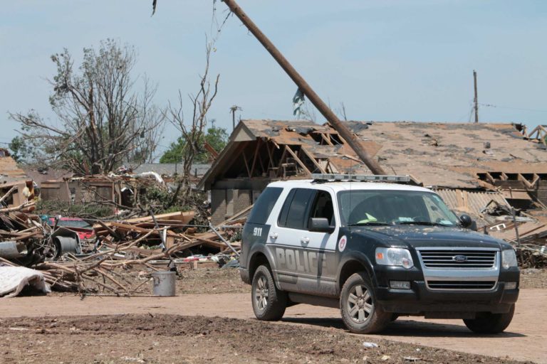
Our strategic solutions include maximum foreseeable loss studies, corporate vulnerability assessments, insurance purchasing/risk transfer, captive insurance development, disaster recovery and emergency response planning, retrofit options such as building improvement, and site selection and acquisition. We use state-of-the-art computer modeling to analyze risks to property and business operations resulting from natural hazards. Our models draw on our own databases containing best available science and socio-economic data from leading federal and regional agencies, augmented by data created by Lynker Analytics, our data science affiliate. Our database contains historical and probability related information – and incorporates your buildings’ and operations’ specific characteristics – to determine your loss potentials.
Relevant Case Study

Pebble Mine


